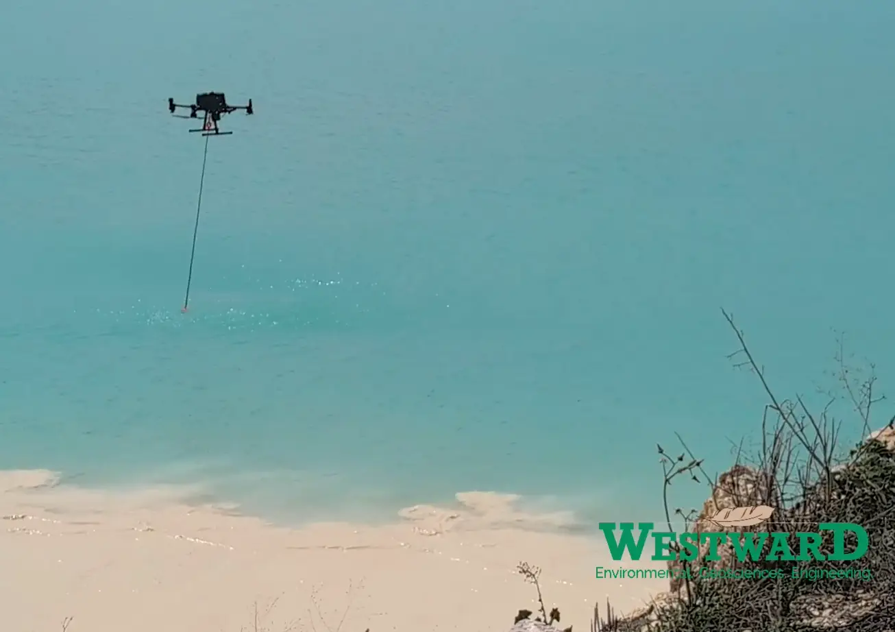
Drone Survey Boosts Texas Quarry Operations
Westward’s geology team recently conducted a groundbreaking drone bathymetry survey at a quarry in central Texas, leveraging advanced technology to gather critical data about a quarry pond. By deploying a dual-frequency echo sounder, the team efficiently measured the pond’s water volume, sediment thickness, and depth to underlying consolidated sediments, providing valuable insights for operational planning.
The survey utilized a high-frequency (250 kHz) sensor to determine the water depth down to the top of the unconsolidated sediment layer. Simultaneously, a low-frequency (50 kHz) sensor penetrated deeper to measure the thickness of the soft, unconsolidated sediment accumulated on the hard bottom layer of the pond. This dual approach enabled the team to collect three key data points: the volume of water in the pond, the amount of soft sediment present, and the depth to a hard, consolidated layer under the sediment.
These findings are instrumental in guiding future operational decisions. As Michelle M. Lee, P.G., RM-SME, VP of Mining & Market Development said, “The data from this survey allows us to make informed choices about whether to utilize a dredge to mine instead of a drag line, clean out, or close a pond, optimizing efficiency and safety while taking capital costs into consideration.”
Beyond the data, the use of drone technology significantly enhances personnel safety by reducing the need for manual measurements in potentially hazardous environments. This survey marks a step forward in combining cutting-edge tools with practical applications, setting a new standard for quarry management.


